In the whole spectrum of mountain bike riding, I guess bikepacking is seen as the safe, bimbly cousin of the likes of Enduro. Yet here I was, cold, wet through, hurtling down a steep gravel track in the middle of the Highlands as fast as I possibly could on a skinny-tyred hardtail, loaded up with luggage and juggling the needs of speed and smoothness, in order not to get a debilitating puncture - or worse. .......
 |
| The high point of Carn an t-Suidhe looking over to Loch Ness |
At the start of this year I decided I was going to stay away from year-on-year comparisons of how far I'd ridden, how many metres of ascent I'd racked up and just relax into enjoying my riding. Almost inevitably (as seems to have happened in may previous years) summer has come round and I find I'm now doing less than I was in the cold, dark months. It's like I've just got a bit bored, or just not as well organised. Couple that with the constant stream of updates on Facebook and Twittter, of posts on forums etc and I'd started to develop a bit of depression. It seemed no matter how much i wanted to get out, I always found an excuse not to. What's more, I've simply got out of the habit of doing long days and certainly not multiple long days. The sensible approach would, of course, be to build up my stamina again, with a longer term goal in mind. However, with a fairly busy July I thought I'd better get something done about my "bivvy a month" plan. Not being able to coordinate with my usual companions also gave me the opportunity to try out a 200km loop I'd been contemplating that might require a bit of experimentation and where I'd rather not drag an unsuspecting guest with me.
The premise of the route was simple enough - use a combination of old military roads and the new(ish) South Loch Ness Trail to circumnavigate the extensive and fairly empty area of mountains known as the Monadliath. In my case, that involved starting in Aviemore and I headed out from home on tracks I know really well.
 |
| I don't normally stop to photograph this as I see it so often! |
 |
| Sweet woody singletrack |
 |
| Tonights destination in the distance - under all that cloud! |
Heading south through Glen Feshie and then out to Insh, I found a section of track that used to be very boggy has now been resurfaced. Perhaps as part of the Speyside Way extension to Kingussie?
 |
| This was a bog last time I rode it. |
Once at Ruthven Barracks I was now essentially following the old General Wade Military Road all the way to Fort Augustus. Evidence of the route is everywhere, the many bridges, the culverts and the straight lines. Wades men were paid by the mile and he didn't mess around with many bends!
 |
| Ruthven. The start (or end) of the road to Fort Augustus |
 |
| Not heavily used, this section nut a good link between the Cairngorms Loops and the HTR 550 ITT routes. |
 |
| Wade everywhere |
 |
| Watching me, watching you |
 |
| Across the A9 and back onto the old RoW |
 |
| Looking west |
 |
| Don't say you've not been warned!! |
I'd been expecting rain all day and as I approached the minor road at Catlodge it put in a brief appearance before abating again.
 |
| Orphaned bridge |
 |
| Traffic jam, Garva style |
However, it still looked dark and foreboding in the West and by the time I reached Melgarve Bothy it was full on. I actually considered stopping here instead of carrying on up the hill but decided that it was still too early and would give me a very, very long day 2. It got wetter and wetter as I climbed and the exertion meant I was soaked through by the time I reached the top of the zig-zags and the old hut on the col.
 |
| Feint rainbow indicates prevailing weather at Garva Bridge |
 |
| Dreich |
 |
| Still dreich - but at least we're now heading down |
 |
| Looking hopeful |
 |
| Pizza calls!!! |
I'd been avoiding looking at the time all day, preferring just to ride until I felt ready to stop but in checking the GPS, I caught sight of the Time and it turned out to be after 8pm. By now, all I could think about was getting inside somewhere for warm food and a drink, and thinking the chippy closed at 9pm, I careered down off the summit as fast as I dared. I reached Fort Augustus at 8:45, parked up the bike and presented the soggy mess I was in the chippy, taking off my wet helmet and jacket and dashing to the counter, only to be told they were open until 10!!
A huge pizza was ordered, along with both hot and cold drinks. Despite my hunger, I could only manage around half of the food but I was in no hurry anyway as at least I was warming up.
 |
| All the meat. ALL OF IT!!!! |
At almost 10, I headed out into quite a pleasant evening. The clouds had all but passed over and everything smelt very fresh.
 |
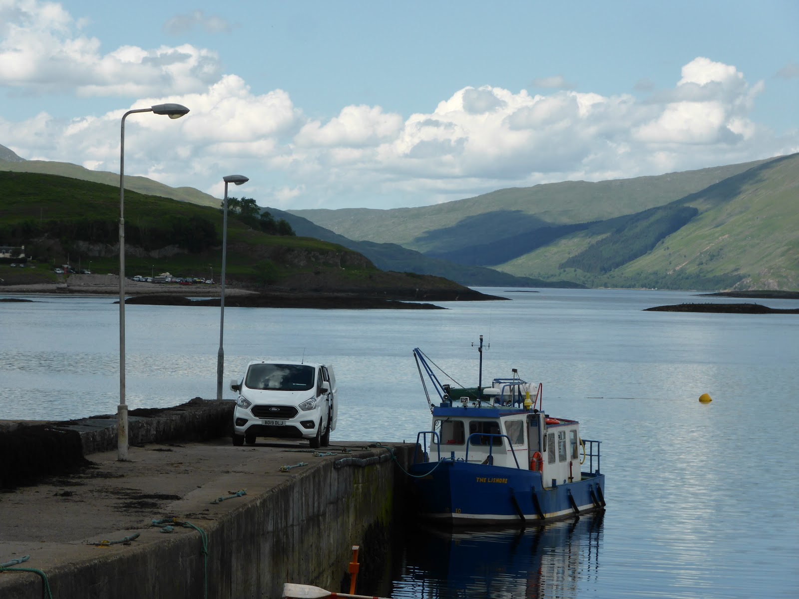
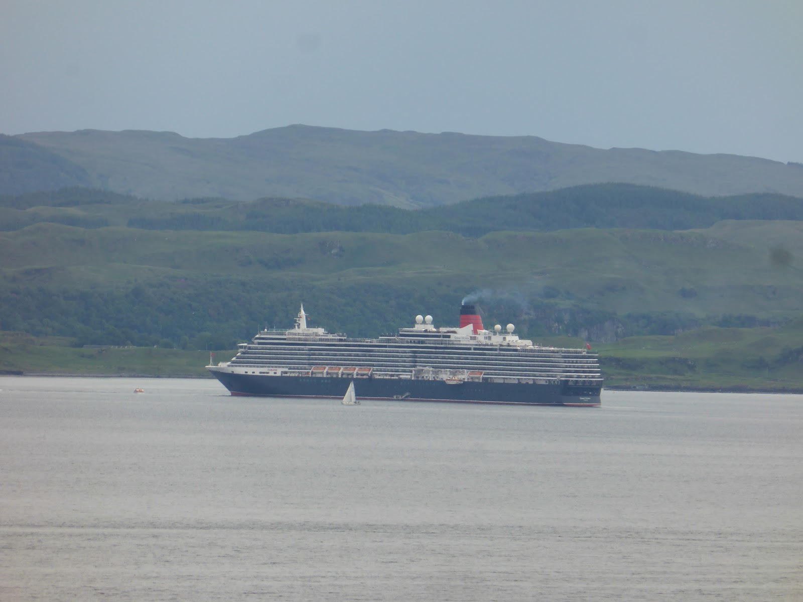
| Loch Ness |
Now I'd be following the South Loch Ness Trail to Inverness and I found the new section on the outskirts of Fort Augustus that avoids the steep road climb - not that this was any less steep.
 |
| Fort Augustus far below already |
 |
| On the new South Loch Ness Trail extension |
After a couple of miles, the track ended at a compound for the new windfarm construction and it wasn't clear how I was supposed to get back to the road. I found a watchmans hut and knocked on his window, giving him a huge fright. After pointing me in the right direction, he asked if I was stopping for the night and I replied that I'd been planning on Loch Tarff. He suggested a spot behind a large mound on the main parking layby.
The advice was great. i was able to get right down to the lochside, taking advantage of the breeze to keep the midge at bay and I was pretty well hidden from any passing traffic.
 |
| Night at Loch Tarff |
 |
| Morning at Loch Tarff |
 |
| Some early morning warmth |
 |
| My bivvy spot - from the road |
 |
| And looking back down to Loch Tarff |
I awoke to a lovely morning and had a relaxed breakfast. I fact, I was enjoying just being there so much that I sat for much longer than usual. I'd have stayed even longer if I'd had more gas for my stove and more coffee to drink. Eventually, I got packed up and headed up the "steep" part of the SLNT to the summit of "the Suidhe" - a view that rarely disappoints.
 |
| Loch Mhor in the distance |
 |
| The SLNT markers - some easier to find than others |
 |
| More evidence of Wade |
 |
| Lovely old section of road - buzzards mewling on both sides as I shot this. |
 |
| And some more rugged looking stuff too |
From here, there's a wide variety of paths, tracks and backroads to Foyers where I arrived to find the Waterfall Cafe was open and serving breakfast. That was too much of a temptation and resulted in another lengthy halt.
 |
| Always worth exploring if you've time - but leave the bike. |
I was now faced with a choice; the official SLNT route takes a hilly and rough route to Inverfarigaig and the suggestion is that cyclists avoid the worst of this by heading along Gleann Liath. Opting for the "full experience", I chose the footpath. Having now done both options by bike, I strongly suggest the Gleann Liath variant if on two wheels.
 |
| Via ferrata - with the bike |
 |
| Steep.Very steep |
Having reached the level of Loch Ness at Inverfarigaig I now had the delight of the "Corkscrew" road. It's hard to describe this. The zig-zags are steep, tight and narrow but at least have most of their complement of tarmac. Once it starts to flatten out though it deteriorates into no more than a rough farm track. However, it's an efficient way to gain height again and the climbing continued all the way up to the Fair Haired Lads Pass. From here, I was treated to a great view of Urquhart Castle and Loch Ness before once again taking my inappropriate bike down a really steep, switchback descent.
 |
| Yes, this is a "road" |
 |
| Urquhart Castle - a view few tourists will see of it |
 |
| Start of the descent to Loch Ness. Wrong bike again! |
By the time I reached the lochside again I was almost at Dores and, once again, the temptation to stop was too much. This time I just opted for a cold beer and a packet of crisps but I was aware that overall I was much slower than day one.
 |
| Pint of lager and a packet of crisps please |
 |
| From this...... |
 |
| .... to this in a few hundred metres |
Another steep climb took me back onto the off-road section of the SLNT and I was eventually spat out onto the Inverness Distributor Road. This just felt weird. The vast area of tarmac seemed quite alien after two days of being almost always off-road. Before long I was at the Old Edinburgh Road and once again hooking up with General Wade towards Aviemore.
 |
| Back to Wade |
 |
| Just because |
 |
| Looking back down to Inverness |
I'd tried this route before but was obviously much fitter the last time. The hill out of Inverness seemed relentless and I was too weary to get up enough speed to outrun the many flies that were buzzing around me. It was a relief when it finally started descending again, though the track has been gated off at one point (to be reported) and is overgrown for a short distance.
The section round the quarry and over to Moy is mostly fine - a great place for a "gravel" bike - but the final couple of km, which is always boggy, has been made even worse with some felling under way. An alternative here would be to use the soft shoulder of the A9 for about 1km and I reckon I'd do that next time. In fact, this whole area could be transformed once the A9 dualling work reaches this section.
Reaching NCN7 at Moy, I followed this to Tomatin for yet another break. This was when I discovered I'd left my wallet at Dores. After a moment of panic, I called the Dores Inn to find that it had been handed in. That over, I managed to pay for a drink and a bit of chocolate with my phone.
Exiting Tomatin, I was now on the only bit of todays route I hadn't ridden. It's a short section of farm track that bypasses the flooded Wade Road up to the Slochd. I expected I'd be off pushing for much of it but surprised myself with a slow, but steady, pedal up until I was higher than the main road and could, at last, see the Cairngorms in front of me.
 |
| The Northern Corries - almost home |
 |
| And back to the National Park |
I decided to stay on NCN 7 for a while and was soon over the lovely bridge at Sluggan. The next climb was another on which I expected to be walking but a bit of determination got me over it for the fast descent to Kinveachy. So fast, actually, that I took a wrong turn and found myself exiting onto the A9. Thankfully, the road was quiet and only a handful of vehicles overtook me before I found the crossing I'd meant to take and picked up NCN7 again through Boat of Garten and back to Aviemore.
 |
| 203km / 3,745m of ascent |
Having completed this loop, it occurred to me that others might want to follow suit and I thought it might be a bit of fun to give it a name - I'm thinking the Monadliath Military 200. If I get around to it, I might even create a web page with more info and a record of completions. I guess a decent time would be around 36 hours, though I really would encourage folk to take their time and explore lots of the other wee bits off-route, like the Falls of Foyers.
The section of this route between Laggan and Tromie Bridge also provides a mainly off-road link route between the Cairngorm Loops and the Highland Trail 500 bikepacking routes should anyone want to join them up into a Scottish Highlands Mega-route!


